Mapping Joshua trees across the Mojave
This post was originally published on this site
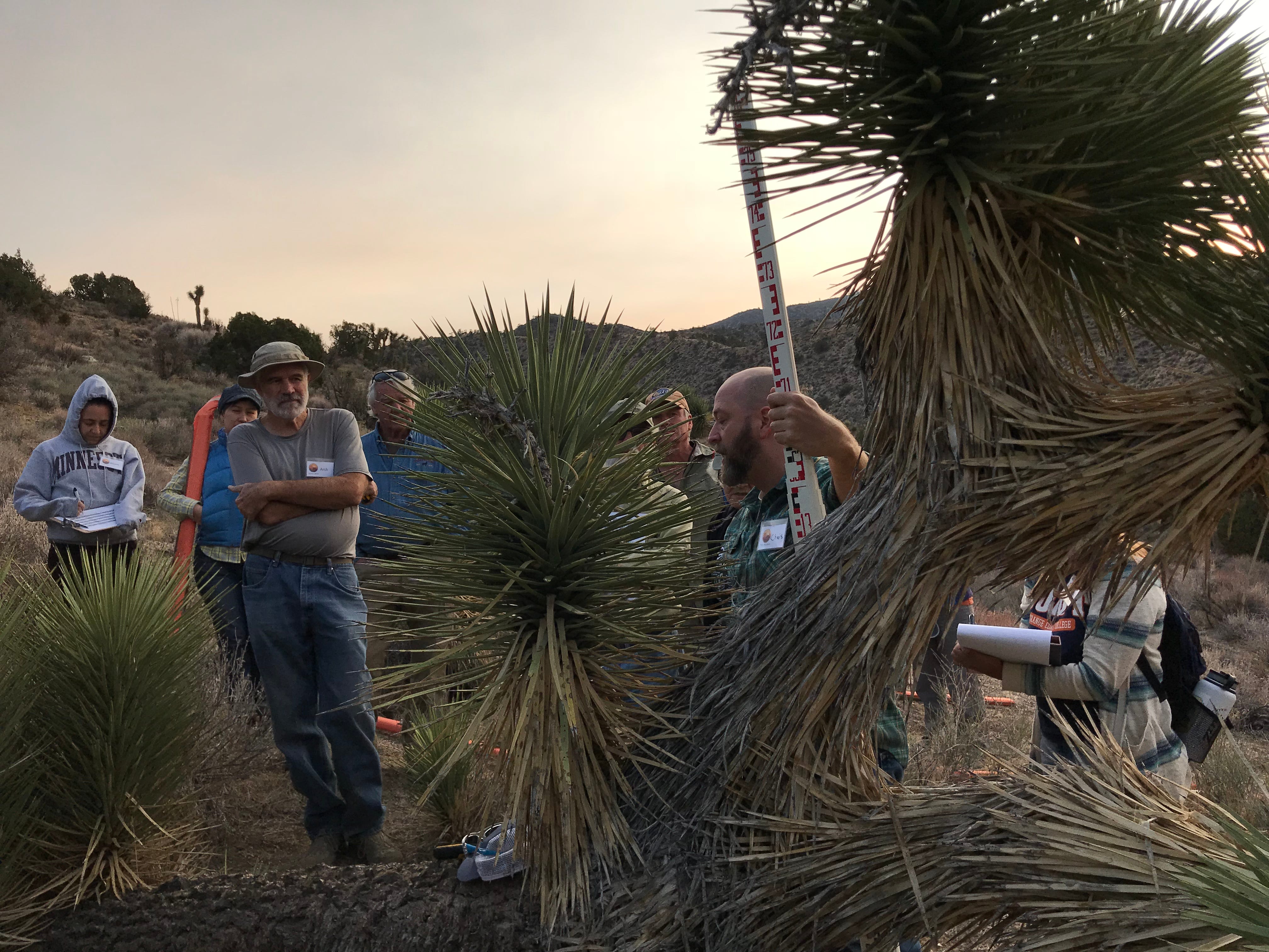
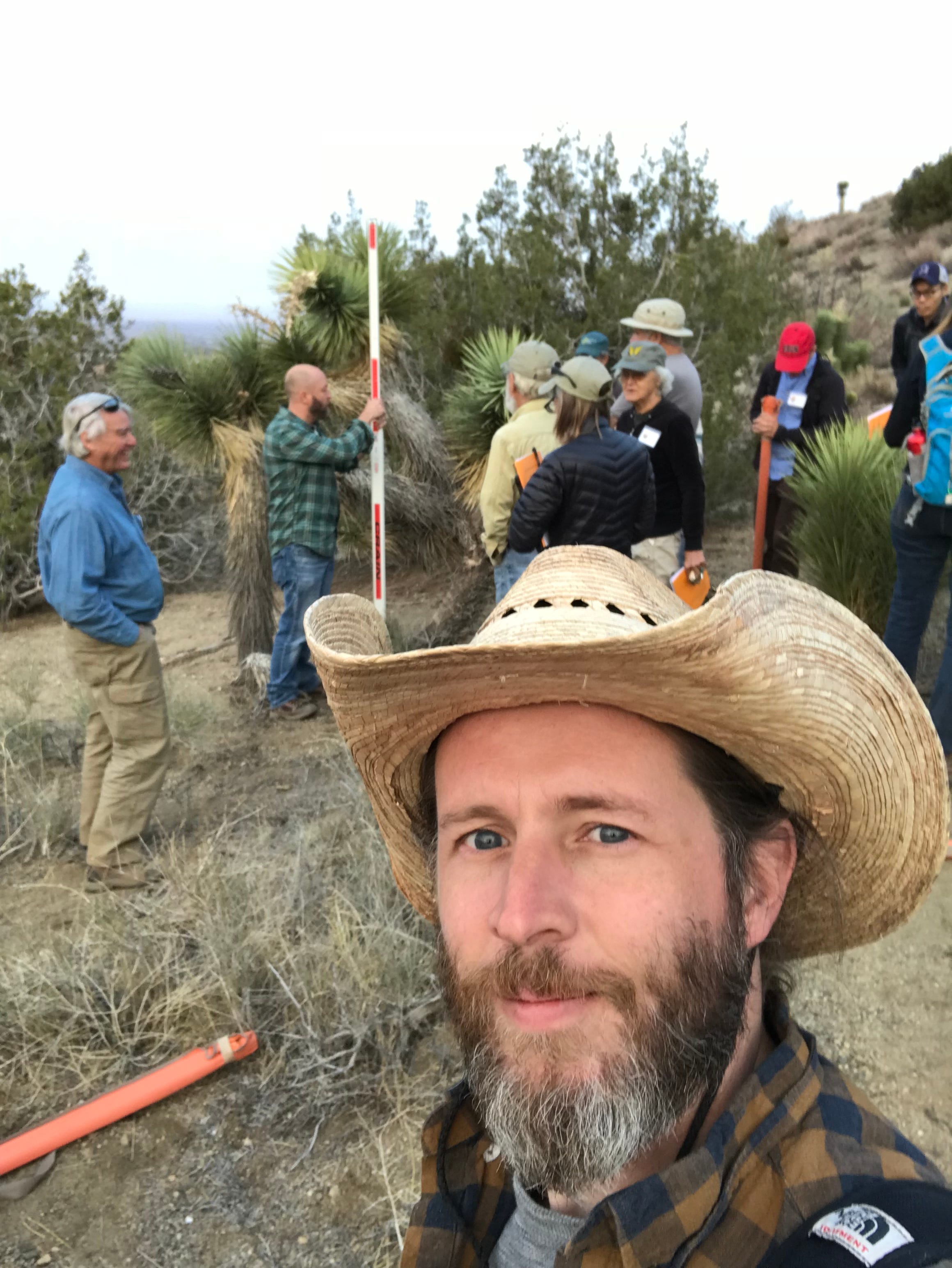
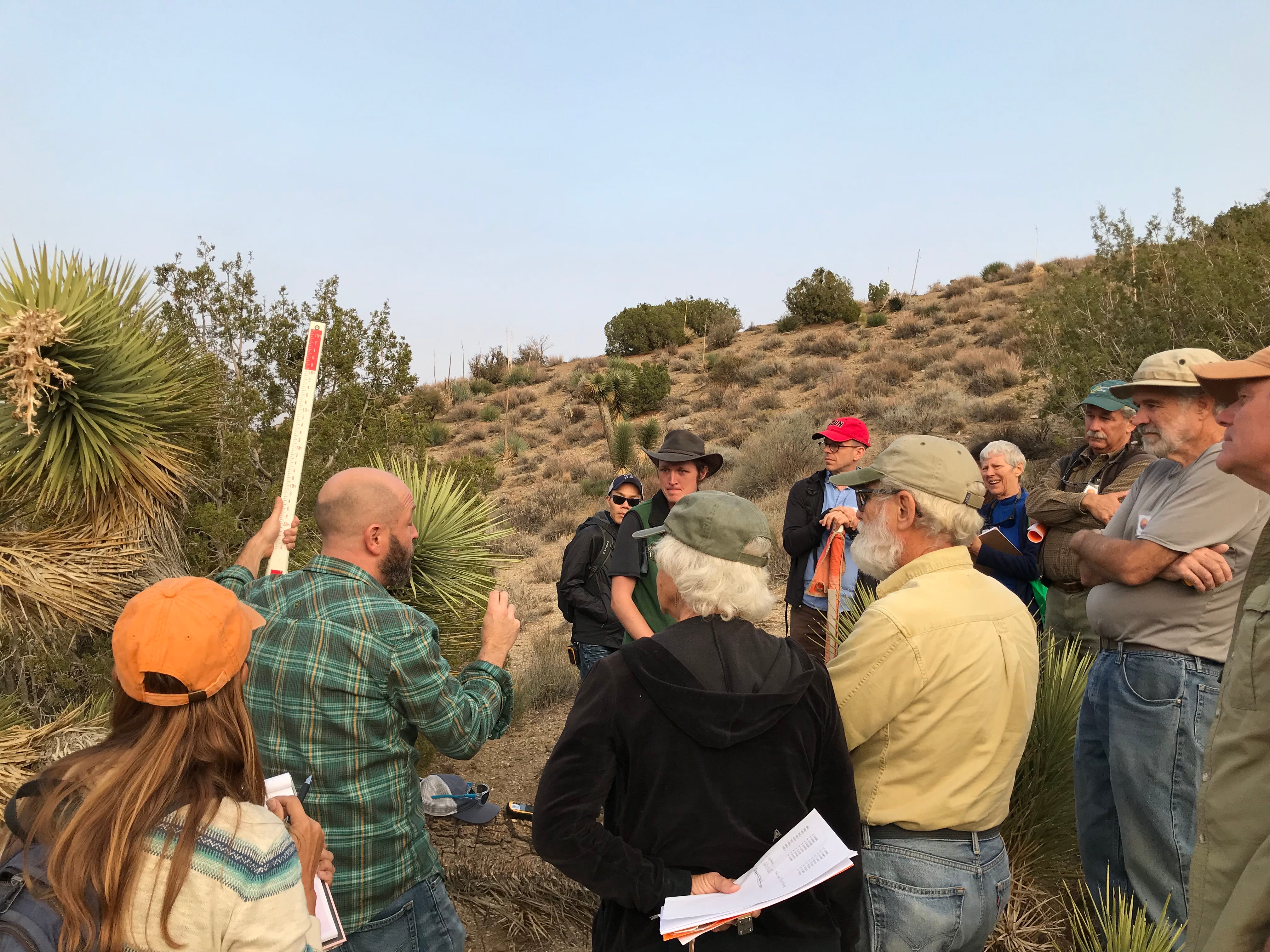
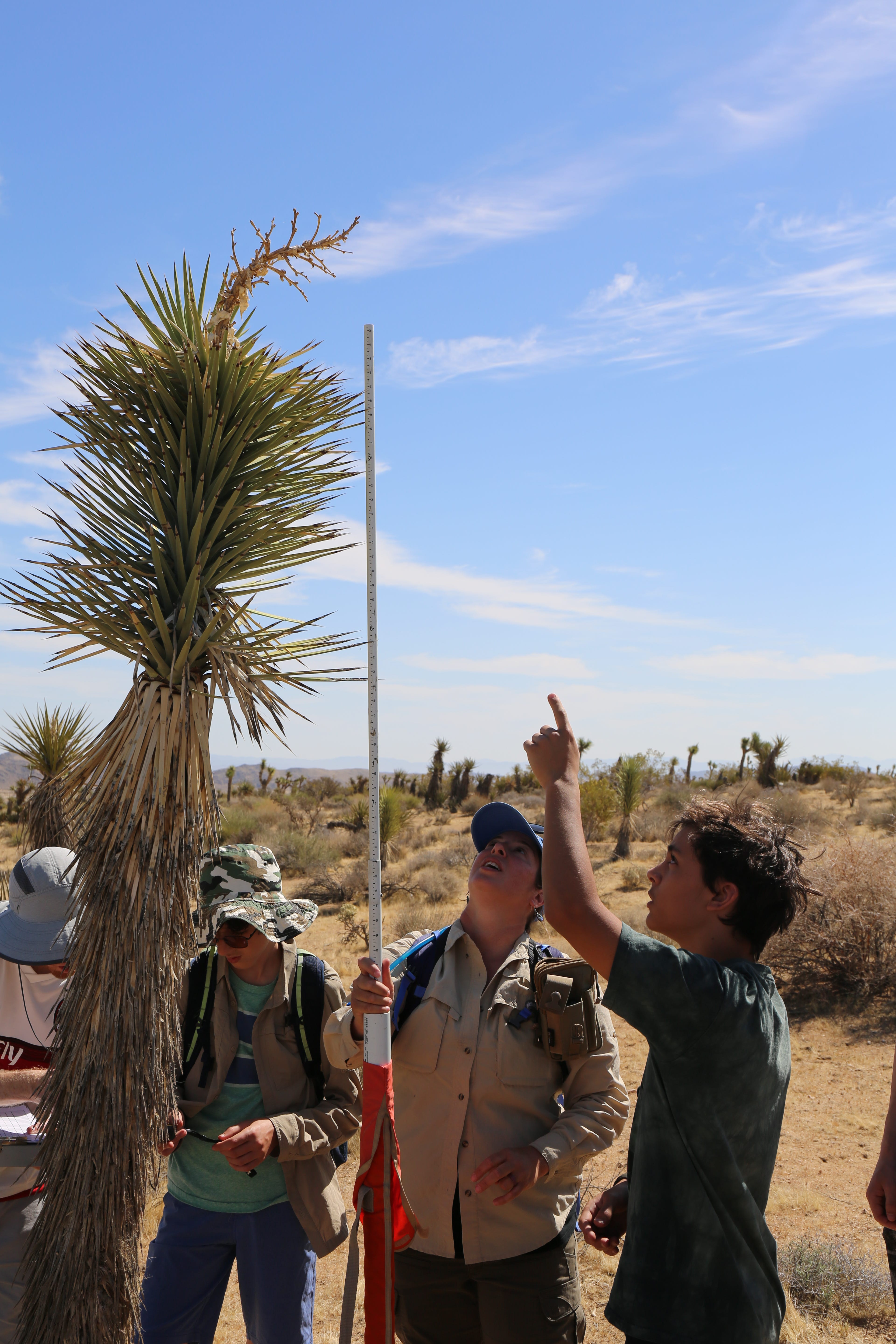
If you live in, visit, or care about the Mojave Desert, you’re probably quite familiar with the ungainly silhouette of its most iconic resident: the Joshua tree. Yucca brevifolia and its related species Yucca jaegeriana are endemic to the Mojave Desert, meaning that they’re not found anywhere else on earth. As the manifestations of climate change multiply, even that restricted range is likely to shrink, when low-elevation and southerly populations struggle to adapt to hotter conditions. The Mojave Desert Land Trust is invested in community science projects studying the Joshua tree, and last month we joined the Joshua Tree Genome Project at a training workshop in Pinon Hills, CA to learn how conservation scientists are studying the Joshua tree’s response to climate pressures. The Joshua Tree Genome Project, founded by Chris Smith (Willamette University), Todd Esque (US Geological Survey), and Jeremy Yoder (CSU Northridge) is a long-term collaborative research project with an ambitious goal: to model and map the entire population of Joshua trees completely, across the full spread of the Mojave Desert. Understanding the distribution of Joshua trees through the habitat will provide valuable guidelines for public lands agencies and conservation groups like MDLT; those subpopulations that are reproducing and expanding most effectively in our changing climate will be good areas to prioritize for conservation. To make the maps and models work correctly, though, they must be tested on the ground: it’s these field survey techniques that we had come to Pinon Hills to learn. After our introductory seminar, volunteer trainees headed out into Transition Habitat Conservancy’s Puma Canyon Preserve to put our tools to work. JTGP’s models suggest where Joshua trees are likely to be found; community scientists will pinpoint where they actually are, while measuring their size, health, and reproductive potential. This kind of community science is an invaluable way for researchers to share the burden of labor-intensive data collection, and a satisfying way for community members to contribute to the body of scientific knowledge. — By Adam Henne, Education Coordinator, MDLT To volunteer with MDLT on future Joshua tree data collection, or any of our many other volunteer opportunities, go to our website. Read more about our community science work with Joshua Trees here.